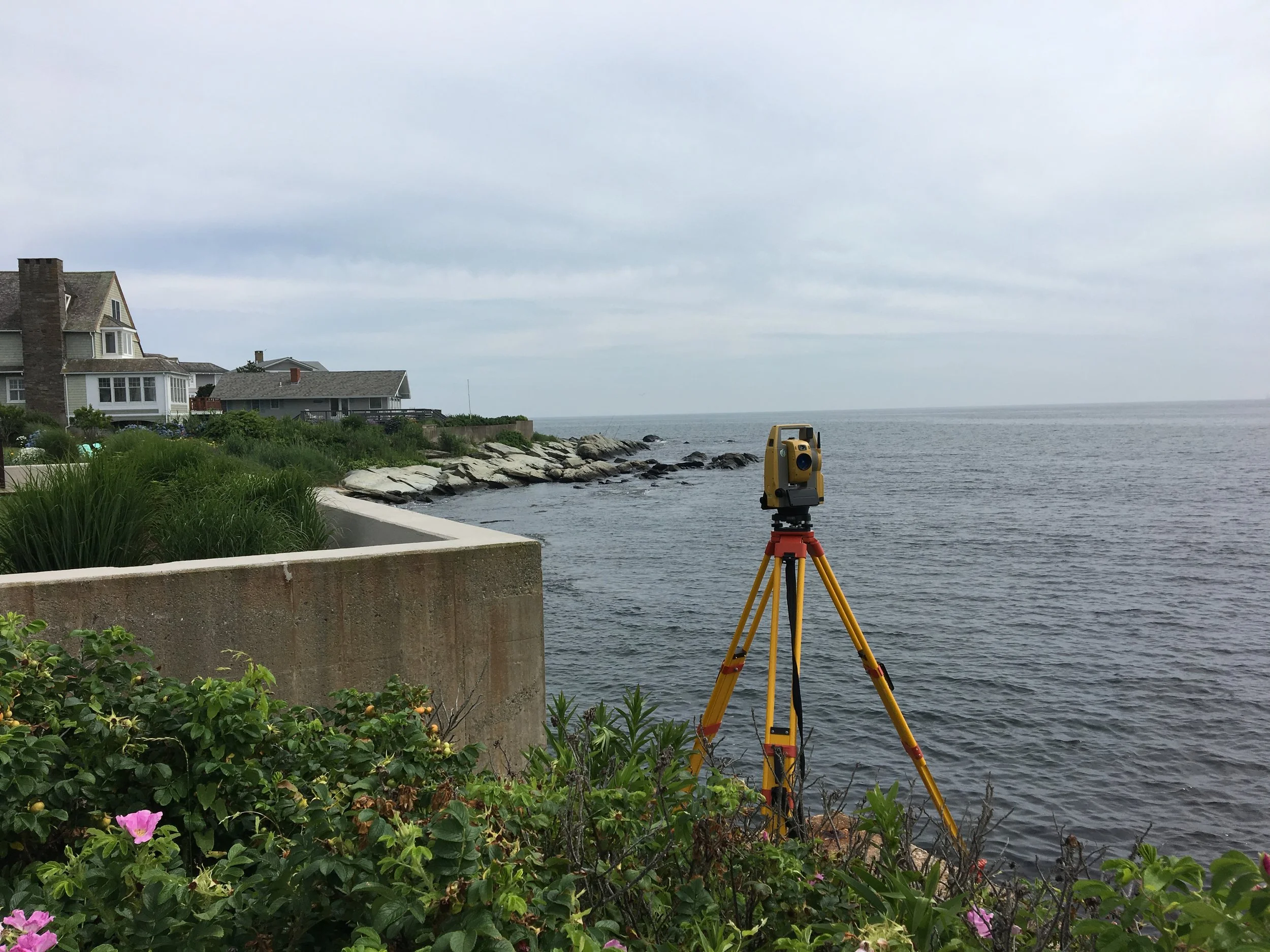
Boundary Surveying
Boundary surveying is the process by which property or other boundary lines of a parcel of land are determined, mapped and monumented (marked), as defined by a legal description or deed. A boundary survey typically begins with the researching of land evidence records. Next, field work is performed to collect the location of physical, natural and artificial monuments as well as lines of possession, in order to compare and analyze them against the information contained within the land evidence records. The Professional Land Surveyor then makes a determination of the actual location of the property boundaries before setting monuments (markers) to identify them. Lastly, a plan of land is prepared.

