382 B Main Street
Wakefield, RI, 02879
401-783-2300
**Tagline Here**
Your Custom Text Here


Your Custom Text Here
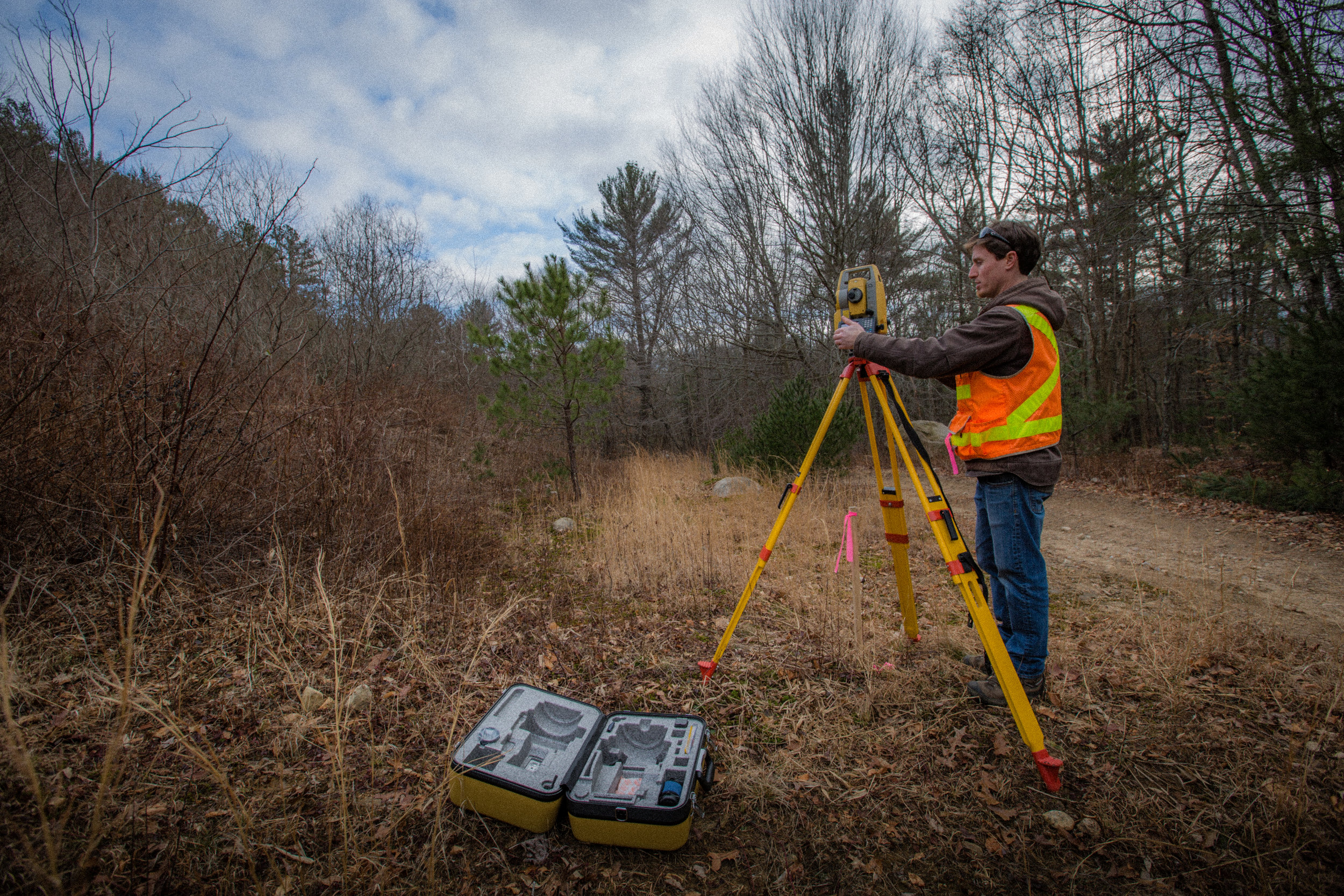
Boundary surveying is the process by which property or other boundary lines of a parcel of land are determined, mapped and monumented (marked), as defined by a legal description or deed. A boundary survey typically begins with the researching of land evidence records. Next, field work is performed to collect the location of physical, natural and artificial monuments as well as lines of possession, in order to compare and analyze them against the information contained within the land evidence records. The Professional Land Surveyor then makes a determination of the actual location of the property boundaries before setting monuments (markers) to identify them. Lastly, a plan of land is prepared.
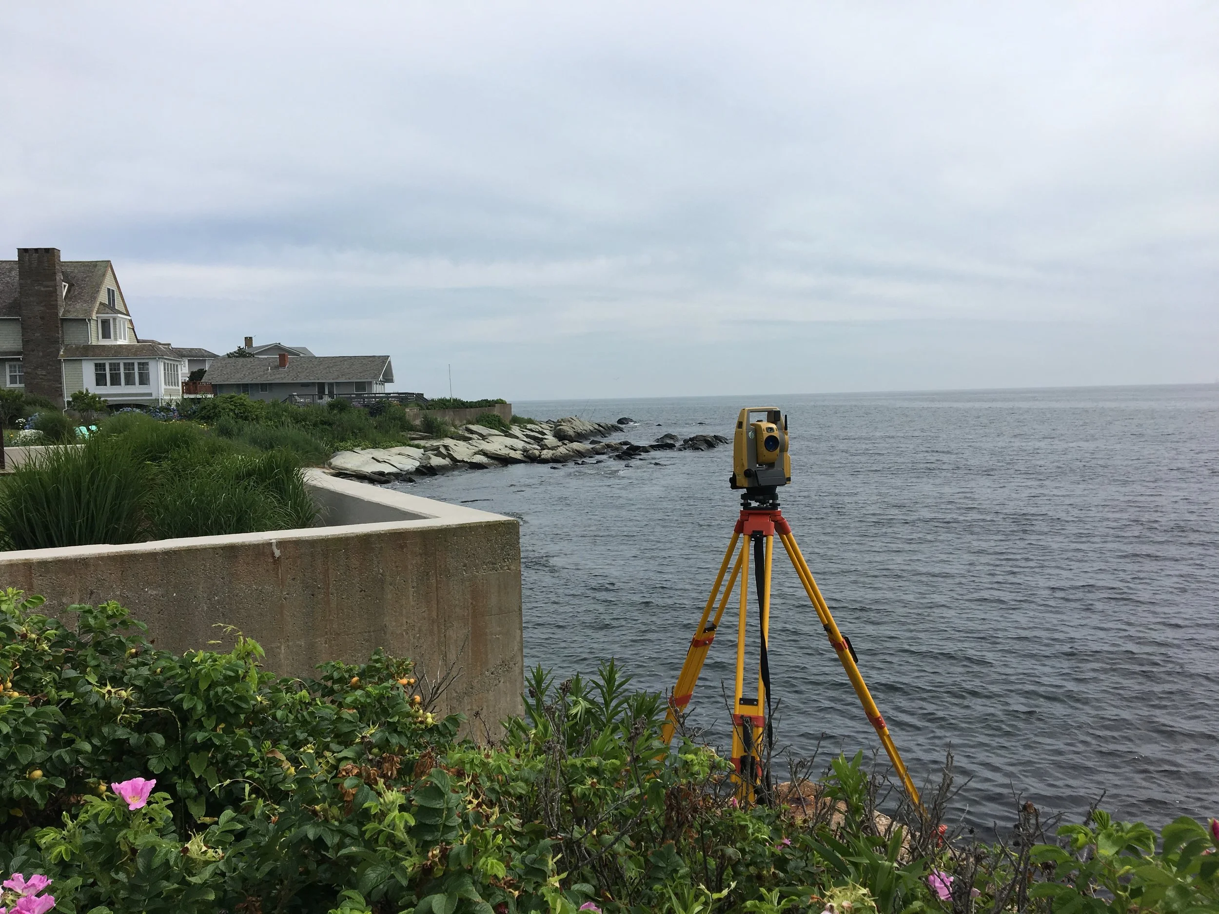
Topography is a detailed graphical representation of the surface shapes and features of the Earth, illustrated by contour lines. A topographic / existing conditions survey is a survey of both the elevation and physical aspects or properties of a parcel of land. Typically, this information is used for land planning or as a base map for other design work such as an OWTS design or a Proposed Conditions Site Plan and are often required by Architects, Civil Engineers and Landscape Architects. Features commonly shown on a topographic / existing conditions survey plan include contour lines, buildings, above ground and evidence of below ground utilities, roadways, trees, edges of vegetation and other improvements.
An Elevation Certificate is an administrative tool of the National Flood Insurance Program (NFIP) which is used to provide elevation information necessary to ensure compliance with community floodplain management ordinances, to determine the proper insurance premium rate, or to support a request for a Letter of Map Amendment (LOMA) or a Letter of Map Revision based on fill (LOMR-F). Letter of Map Change (LOMC) is a general term used to refer to the several types of revisions and amendments to FEMA maps that can be accomplished by letter. They include Letter of Map Amendment (LOMA), Letter of Map Revisions (LOMR), and Letter of Map Revision based on Fill (LOMR-F).
An ALTA/NSPS Land Title Survey is a comprehensive boundary survey performed to a strict set of standards developed by the American Land Title Association (ALTA) in conjunction with the National Society of Professional Surveyors (NSPS). These surveys are acceptable to a title insurance company insuring title to real property. Other key elements of an ALTA/NSPS Land Title Survey include: rights of way, access, lines of possession, improvements along the boundaries, buildings, easements and servitudes, cemeteries and water features.
An as-built survey is a survey that documents the finished horizontal and/or vertical location of something that has been recently constructed. They are commonly used to compare and report deviations from a proposed design plan or as a permanent record of infrastructure whose position may become obscured.
A site plan is a graphic representation or map of either existing or proposed conditions or a combination thereof on a parcel of land. Typically, a site plan is prepared by a licensed Architect, Engineer, Landscape Architect or Land Surveyor and if it depicts boundaries, must be prepared by a Land Surveyor. It is a bird’s eye view of a property, drawn to scale.